WORKING FOR THE BETTER PROTECTION OF WILD FISH ON SCOTLAND’S WEST COAST
West Coast Tracking Project
The Magnificent Migration: A Wild Salmon’s Journey

WORKING FOR THE BETTER PROTECTION OF WILD FISH ON SCOTLAND’S WEST COAST
The West Coast Tracking Project is a unique study that aims to advance our understanding of the marine and near-coastal migratory distribution of the precious remaining wild Atlantic salmon we have around the West Coast of Scotland.
By learning more about where our salmon ‘smolts’ go (young salmon on their outward migration from freshwater to their marine feeding grounds), we can better protect them from the threats they face in the coastal and marine zones, contribute to stronger regulatory processes, and develop solutions to restore their numbers.
This project is a partnership between the Atlantic Salmon Trust, Fisheries Management Scotland and the Marine Directorate with collaboration and research expertise from the University of Glasgow. It is also dependent upon the significant time and experience of Fishery and Rivers Boards and Trusts and their volunteer networks.
Before the project began, we had limited information about the swimming behaviour of salmon smolts and what happened to them as they journeyed around the West Coast.
We know that these young fish need to migrate out from the British Isles to join an oceanic current located on the Wyville Thomson Ridge. We like to call this the ‘Smolt Highway’. They then use this current to travel northeast to their first year marine feeding grounds off the coast of Norway, before either returning to their home rivers as ‘grilse’ or continuing on to feeding grounds near Greenland where they will stay for another year or two before returning as ‘multi-sea winter’ fish. However we didn’t have much information on how they got to that first current. How did they navigate out of our rivers, through sea lochs and around the many islands on the west coast?
Without knowing this information, managers and policymakers could not take informed decisions to better protect them on this perilous journey, or minimise the impact of the pressures they face, including from aquaculture and other marine developments.
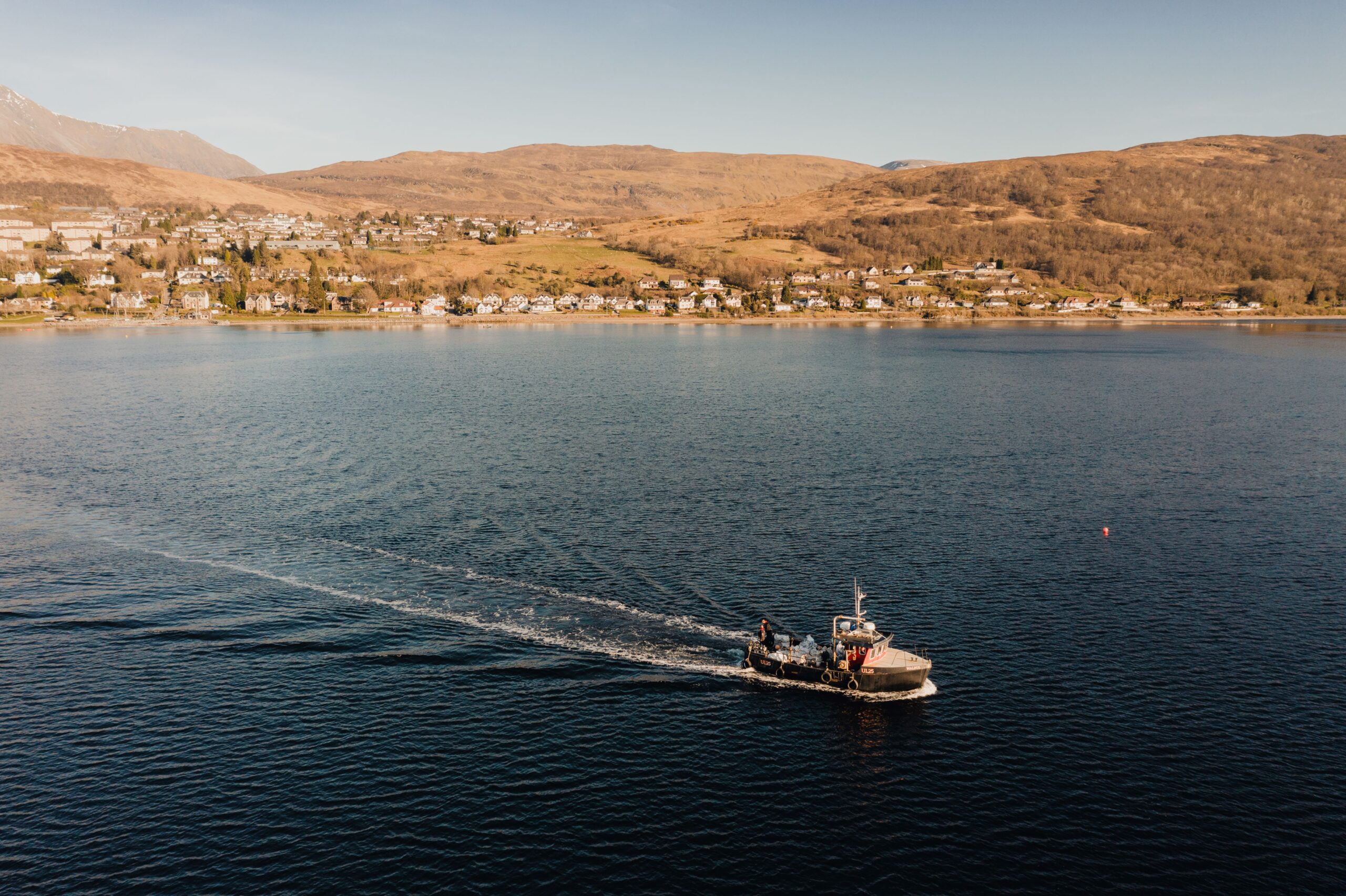
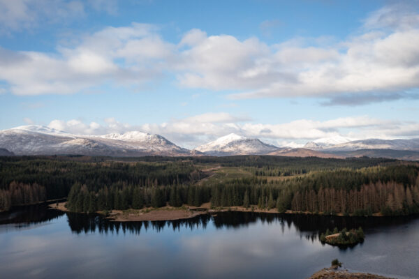
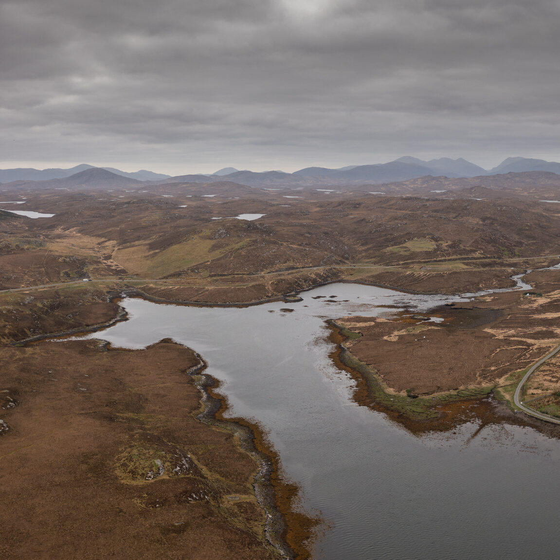
We therefore set our sights on filling this important knowledge gap and, with our partners, designed a three-year research project which spanned a huge geographical area, stretching from Dumfries & Galloway right up to the north coast of Scotland and the Outer Hebrides.
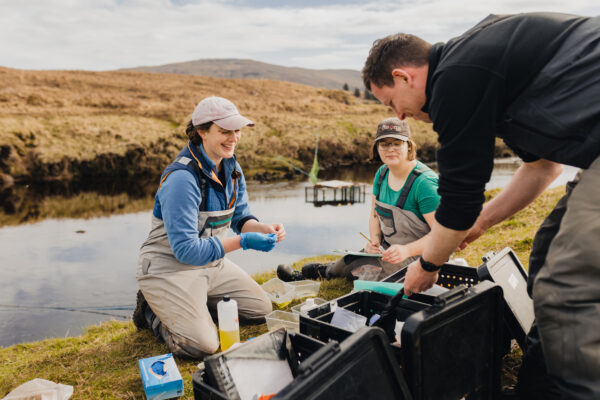
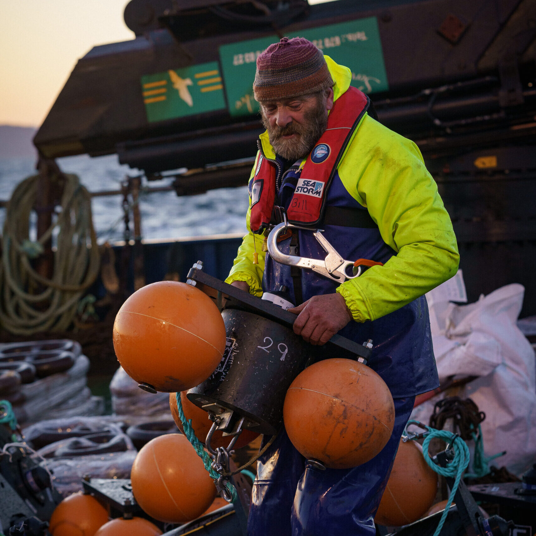
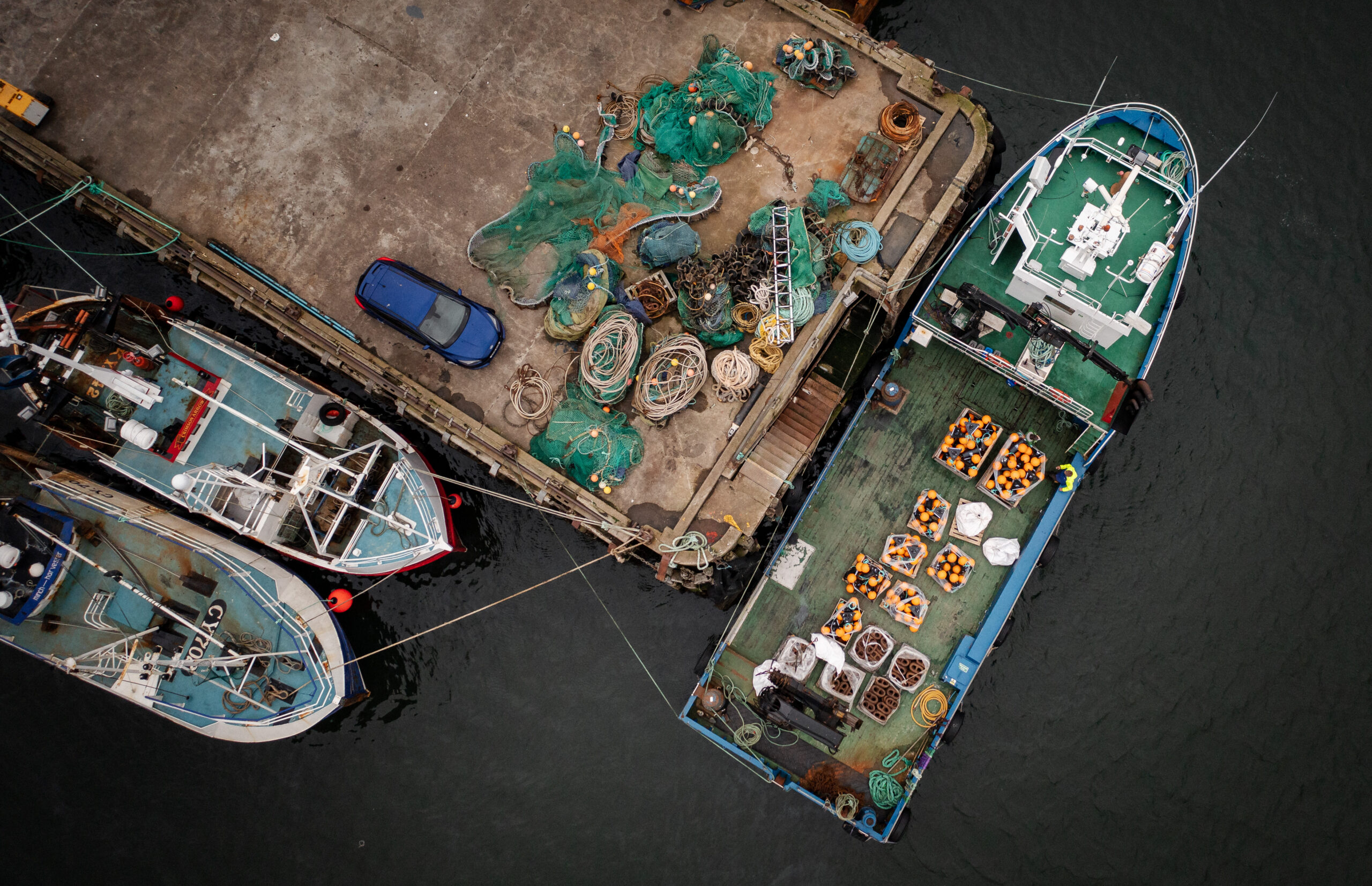
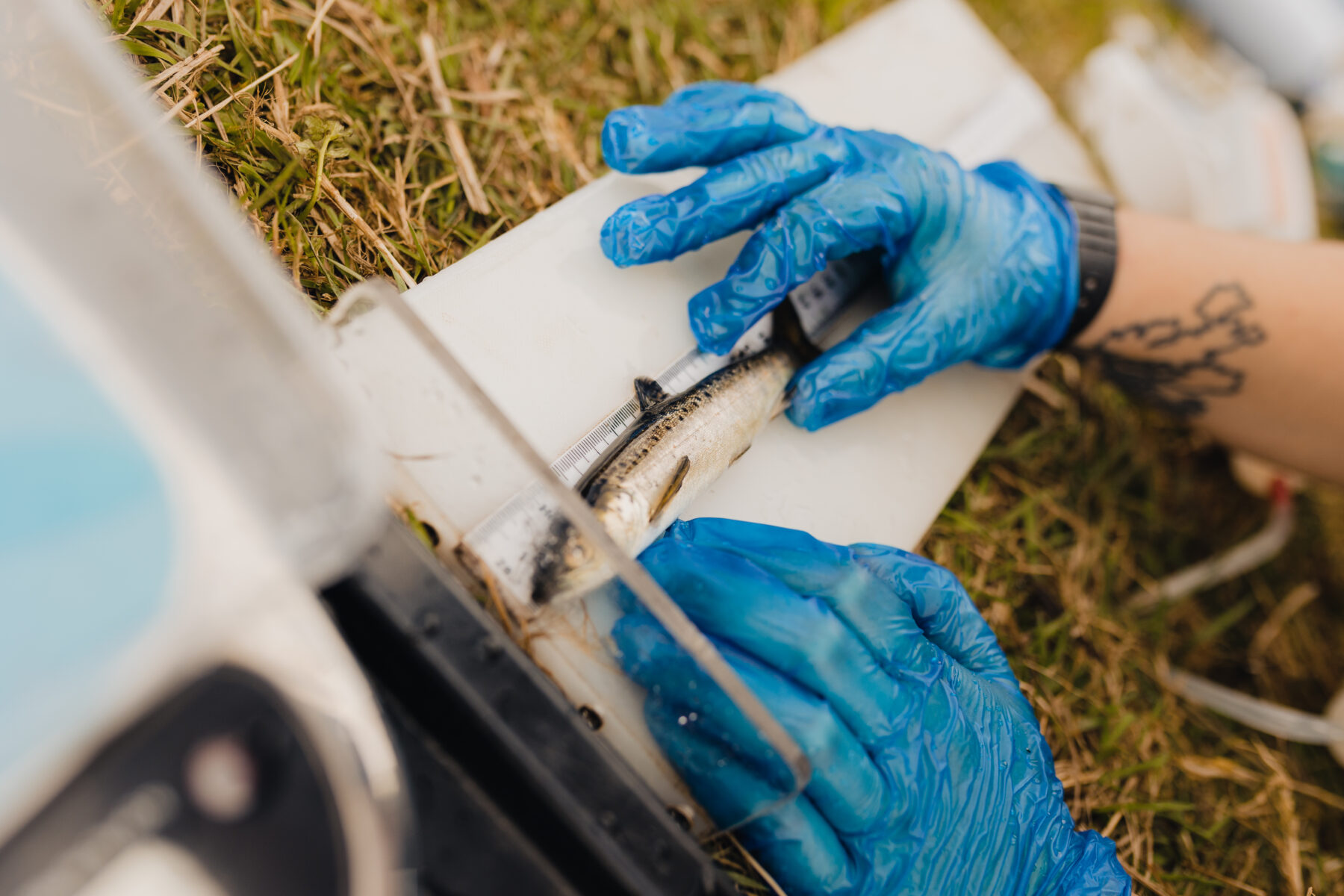
The West Coast Tracking Project uses sophisticated acoustic telemetry technology. In simple terms, this involves specially trained staff carefully trapping salmon smolts from rivers around the West Coast during their migration to sea in the spring, and tagging them with small acoustic tags. These tags send out a high-frequency ‘ping’ which can be picked up by an array of acoustic receiver units strategically placed by the project throughout the study rivers, into estuaries and even out into the open sea.
At the end of each study year, the receivers are retrieved from the water where their data is downloaded, and our team works hard to analyse and decode it, allowing us to take this valuable evidence and translate it into action to better protect these precious fish.
The West Coast Tracking Project isn’t happening in isolation however. There are other major tracking initiatives currently taking place across the UK and Ireland, such as SeaMonitor, COMPASS and the Movement Ecology of the Flapper Skate (MEFS) Marine Protected Area project. These projects use similar technology to track other creatures like basking sharks, skate and marine mammals and, crucially, the tags and receivers across these projects are all compatible with one another. This means salmon tagged in our study can be detected on all of these projects’ arrays, leading to a far greater understanding of where and how our young salmon are travelling.
The project launches on 10 rivers around the West Coast and Outer Hebrides: the Nith, Bladnoch Clyde, Endrick, Etive, Loy, Lundy, Awe, Laxford, and Laxay.
We successfully tagged over 1,000 salmon smolts during the spring months.
We placed 226 receiver units throughout the project area and waited eagerly for the first results to be seen when receiver units could be retrieved from the water at the end of the year.

This map shows the locations of the receiver deployments for 2021, including some in river mouths and sea lochs, as well as arrays of receivers around the Isle of Mull, between Skye and the South Uist, as well as around the southern tip of the Outer Hebrides.
We also harnessed the abilities of a ‘wave glider’ submersible drone which followed a set path between the northern tip of Ireland and the Isle of Islay as part of the Irish Sea Monitor project. This submersible would also have the ability to detect our tagged smolts.
Out data showed that the project concept worked, and that it we could successfully track salmon smolts around the West Coast. These fish registered over 1 million data points on our receivers.
The project immediately started to indicate a range of migratory patterns and preferences in our young salmon, but no clear-cut major migration corridors.
Early findings showed that our tagged fish distributed widely around the West Coast and migrated using many different routes. We also gleaned some fascinating insights on how they were moving through sea lochs and their speed of travel which would lead to more focused efforts in this area in Years 2 and 3.
The project design for Year 2 was guided by what we learned in Year 1.
While continuing to look at the ‘big picture’ to track fish away from the coast to look for any patterns in migration routes, we also decided to take a closer look at what our fish were doing nearer to shore to get a better understanding of their first important few days at sea.
By investigating their speed and travel timings through sea lochs in much greater detail, we could start to fill in this piece of the puzzle.

In Year 2 the project tagged fish from 11 rivers and deployed 266 receivers.
The addition of the river Grimersta on the Isle of Lewis would give us even more information on smolt movements through sea lochs, such as Loch Roag.
Watch our animation below to catch up with where the project was at during Year 2.
In Year 2 we found that smolts were spending longer moving through sea lochs than previously thought.
This raised important questions regarding their interaction with marine developments, such as aquaculture, in particular the amount of time wild salmonids are exposed to sea lice originating from salmon farms.
By combining this new data on smolt transit times through sea lochs with Marine Scotland’s sea lice modelling and smolt dispersal modelling, our work will help to inform SEPA’s Sea Lice Risk Assessment Framework to achieve better protection for wild fish.
We therefore decided to focus even more on sea lochs in Year 3.
In the third year of the project, we took an even closer look at how our young salmon move around in sea lochs, looking not only at their speed and timing, but also their depth.
We upped our concentration of receiver units in sea lochs yet again, as we aimed to generate the best evidence available to feed into regulation to protect our wild fish.
In partnership with the Marine Institute, we also deployed another submersible glider to work to cover the area of sea to the south of the Outer Hebrides.
In Year 3 the project tagged 1100 fish from 12 rivers and deployed 331 receivers, 280 of which are located in 8 sea loch focus areas.
The team is now pulling together the overall project findings, publishing scientific papers to go through the independent peer review process, while immediately working with regulatory bodies and industry to ensure that our hard work results in greater protection for wild salmon and sea trout.
Great variability was found in the approximate migration pathways of juvenile salmon, as opposed to well-defined migration corridors, with variation seen among salmon originating from different regions and rivers, as well as between individuals originating from the same river.
Research Paper: Inshore and offshore marine migration pathways of Atlantic salmon post-smolts from multiple rivers in Scotland, England, Northern Ireland, and Ireland. Journal of Fish Biology.
Rodger, J.R., Lilly, J., Honkanen, H.M., Del Villar, D., Kennedy, R., Maoiléidigh, N.Ó., Boylan, P., Rosell, R., Morris, D.J., O’Neill, R. and Waters, C., 2024
This paper was a collaborative study, working with multiple partners across the UK and Ireland, and describes the approximate migration pathways of juvenile salmon smolts migrating from 25 rivers which drain into the sea to the west of Great Britain. This study provides valuable empirical information on the migratory pathways of smolts from four different countries, each with separate species protection legislation and contrasting management policies. The paper found that there is no one single ‘major’ migration route being used by salmon smolts through inshore and offshore marine waters, with salmon from different regions and rivers having been recorded using different migration pathways, as well as individuals from the same river also using different migration pathways.
Read the full paper here.
Research Paper: Migration patterns and navigation cues of Atlantic salmon post-smolts migrating from 12 rivers through the coastal zones around the Irish Sea. Journal of Fish Biology, 104(1), pp.265-283. Lilly, J., Honkanen, H.H., Rodger, J.R., Del Villar, D., Boylan, P., Green, A., Pereiro, D., Wilkie, L., Kennedy, R., Barkley, A. and Rosell, R., 2024.
This was another collaborative study which included smolts tagged on the River Bladnoch, Nith, Endrick and Gryffe. The study investigated whether water temperature and water currents were affecting the movement of smolts through the Irish Sea. The paper found that smolts were not simply being carried along by water currents, but were instead actively swimming through the Irish Sea. Follow up work is looking at which other cues smolts may be using to orientate during their migration through the Irish Sea. The resulting information will be used to advocate for better protection of migrating wild salmon in this area.
Read the full paper here.
The project is financially supported by Scottish Government and private and industry contributions – including the aquaculture industry. The project is also supported by voluntary contributions of time and resources across the West Coast of Scotland, and from generous AST donors.
A full financial breakdown of income and expenditure can be viewed here.
All funds contributed to the West Coast Tracking Project are restricted – meaning that they can only be used solely for this project and not for other purposes. There are no contractual arrangements or agreements, formal or informal, with any external members or industries that dictate, influence or restrict the design or results of this study, or the activities of the project partners.
This project is supported by the Scottish Government’s Nature Restoration Fund, which is facilitated by the Scottish Marine Environmental Enhancement Fund (SMEEF), and managed by NatureScot.
![]()